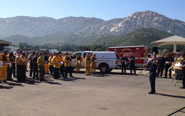
Stopping a large wildfire takes the coordination—and exertion—of hundreds of firefighters.
In a three-day drill on the Barona Indian Reservation that started Thursday and goes through Saturday, some 300 firefighters and regional responders are working hard in a detailed simulation—sans flames—to prepare for wildfires that may come with the hotter, drier months ahead.
Volunteers trained by the County Fire Authority, including new firefighters who have never faced a real wildfire, are among the crews taking part. County engines and water tenders, as well as a Geographic Information System (GIS) analyst from the County Fire authority will also use the drill to practice.
“It’s a chance for all the agencies that would respond on an incident to come together under the unified command structure,” said Mike Mohler, Cal Fire spokesman.
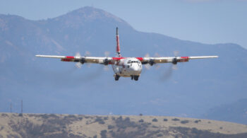
The drill has firefighters laying hose lines as if flames were running up a hillside. Water-dropping helicopters attack the “blaze.” Firefighters are cutting fire lines and removing vegetation to prevent the imagined fire’s spread.
Matt Turner, GIS analyst with the Fire Authority, is supporting the drill as he would a real fire. He uses GIS technology to make detailed, layered maps full that help an incident commander plan and measure the firefight’s progress. The boundaries and burning areas of a fire, topographical features, the location of firefighting divisions, weather conditions and streets and residences are all part of Turner’s rich maps.
The analyst operates out of the County’s GIS trailer, which is typically called out to support firefighters and incident managers in the early stages of a blaze.
This week’s drill is a change to test the equipment and practice coordination in advance of a real wildfire, Turner said.
“We’ll be getting up to speed and getting ready,” he said.