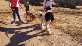
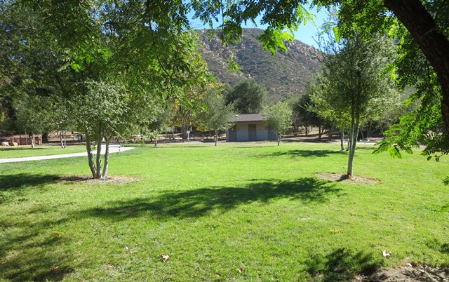
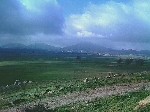
Make 2019 the year of new adventures and fresh air. County park rangers have selected 10 trails for you to try this year. The picks are scattered across the county from the coast to the mountains and deserts. And they’re a mix of some of the most popular and least traveled.
Before hitting the trail, consider the difficulty of the hike, the weather and your own physical fitness level. The trails are broken down from easy to hard. No matter if you are taking your first steps or looking for a new hiking challenge, bring plenty of water, dress properly, stay on marked trails and make sure you let someone know where you are hiking.
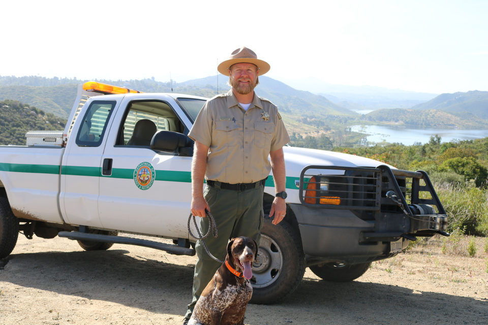
In addition, County Parks hosts dozens and dozens of guided hikes throughout the year. Find one in the County Parks and Recreation Activity Guide.
Easy

Trail: Dairy Mart Pond Loop Trail at Tijuana River Valley Regional Park
Distance: 2 miles
Elevation Gain: Flat
Duration: 1 hour
Pro Tip: Take a virtual hike along the trail before lacing up your sneakers and hiking it yourself. Part of the trail is ADA accessible.
Trail: La Orilla Trail at San Elijo Ecological Reserve
Distance: Up to 5 miles
Elevation Gain: Flat
Duration: 2 to 4 hours
Pro Tip: San Elijo is a bird-watcher’s paradise. Bring binoculars. Stop by the visitors center for a map and to meet Franklin.
Trail: Valley View Trail at Barnett Ranch County Preserve
Distance: 4 miles
Elevation Gain: 630 feet
Duration: 2 hours
Pro Tip: Don’t miss the opportunity to snap a selfie at the double-sided bench. The preserve is a great spot for lunch or snacking al fresco.
Easy/Moderate
Trail: Flinn Peak Trail at Flinn Springs County Park
Distance: 0.75 miles
Elevation Gain: 175 feet
Duration: 1 to 2 hours
Pro Tip: Keep your eyes peeled for creek frogs and Kumeyaay artifacts like grinding holes, which were used for the preparation of food. While this is a shorter hike, you can choose your own adventure and continue into the adjacent preserve.
Moderate
Trail: South Barcelona Trail at Dictionary Hill County Preserve
Distance: 2.1 miles
Elevation Gain: 565 feet
Duration: 1 to 2 hours
Pro Tip: This is the newest County acquired open space. If you have them, bring trekking poles or a hiking stick. Parts of the trail are rocky.
Trail: Old Survey Road 97 at Ramona Grasslands County Preserve
Distance: 5.4 miles
Elevation Gain: 938 feet
Duration: 2 hours
Pro Tip: Hiking this trail takes a little bit of planning because you’ll need a permit and it is only open weekends from Aug. 15 to Nov. 15.
Moderate/Hard
Trail: Del Dios Highlands County Preserve fire road
Distance: 2.6 miles or longer
Elevation Gain: 910 feet
Duration: 1 to 2 hours
Pro Tip: Halfway up the trail you can see Lake Hodges. At the top, you can see the ocean on a clear day. Hike the 2.6 miles in Del Dios or continue into the Elfin Forest for another 10+ miles.
Trail: Kanaka Loop Trail at Santa Ysabel East County Preserve
Distance: 7.4 miles
Elevation Gain: 1050 feet
Duration: 5 hours
Pro Tip: Be ready to share the trails with cattle that also call this preserve home. Of course, moooove over or wait for them to pass.
Hard
Trail: Mt. Gower County Preserve trail
Distance: 10.3 miles
Elevation Gain: 3,193 feet
Duration: 5 to 6 hours
Pro Tip: This preserve is not just dense chaparral, but oak woodlands, shaded streamside arbors and meadows. Look for the teepee and rock fangs along the hike.
Trail: El Cajon Mountain trail at El Capitan County Preserve
Distance: 11+ miles
Elevation Gain: 4,000 feet
Duration: 5 to 7 hours
Pro Tip: This trail is considered one of the toughest in the county. Start early and bring water, snacks and a fit friend to enjoy the views.